
 EN
EN
 ar
ar bg
bg hr
hr cs
cs da
da nl
nl fi
fi fr
fr de
de el
el hi
hi it
it ko
ko no
no pl
pl pt
pt ro
ro ru
ru es
es sv
sv tl
tl iw
iw id
id lv
lv lt
lt sr
sr sk
sk sl
sl uk
uk vi
vi et
et hu
hu th
th tr
tr fa
fa ms
ms hy
hy ka
ka ur
ur bn
bn mn
mn ta
ta kk
kk uz
uz ku
ku
GPS Displacement Monitoring System
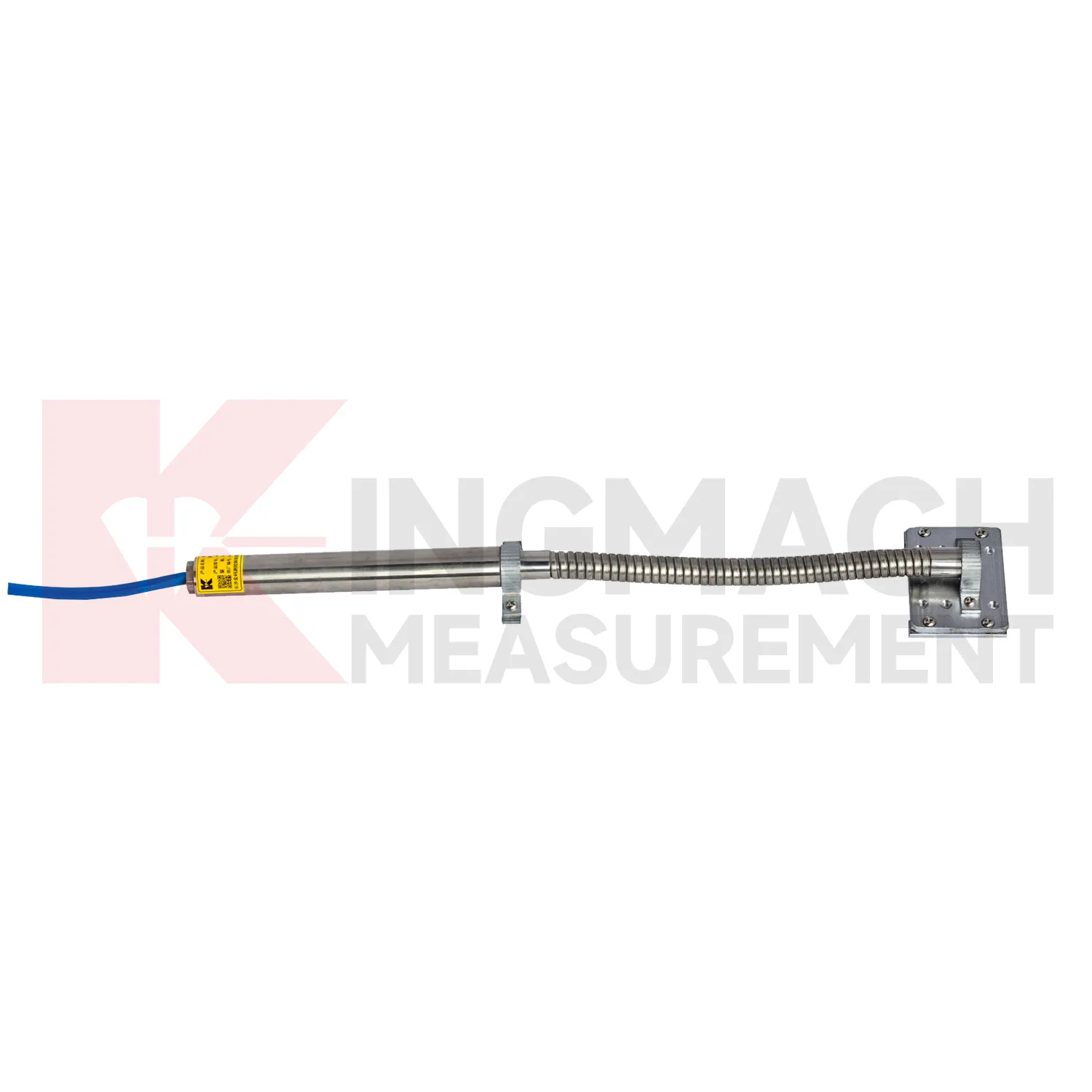
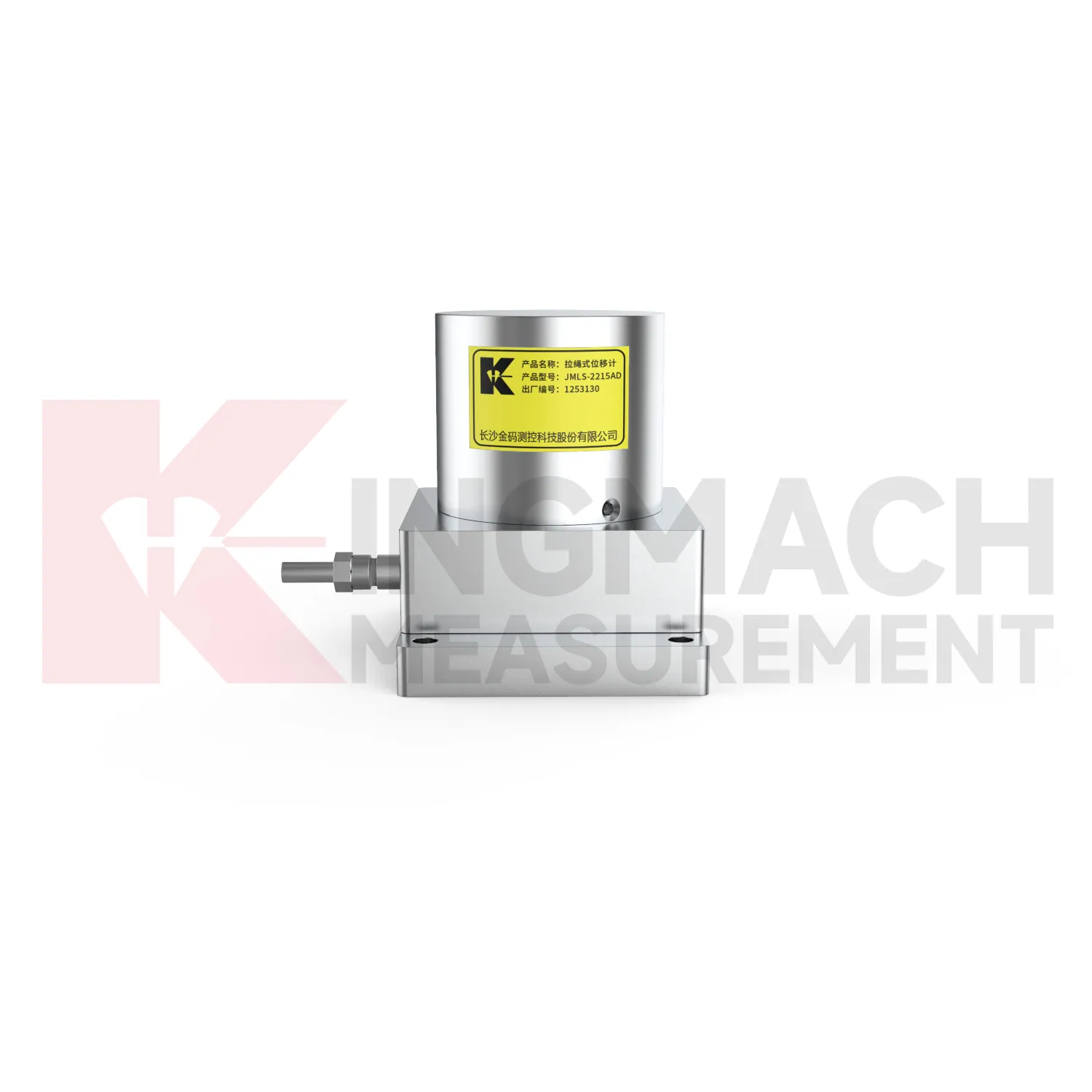
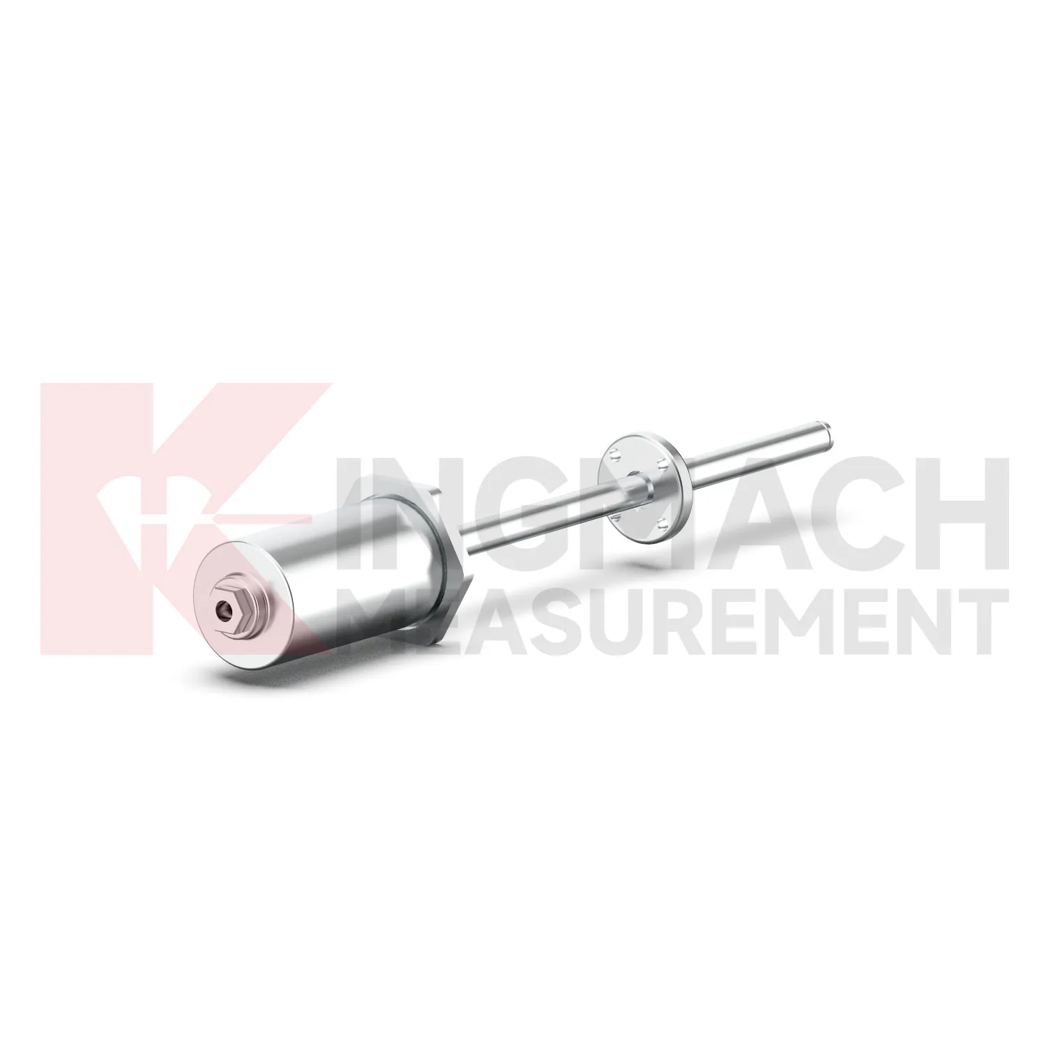
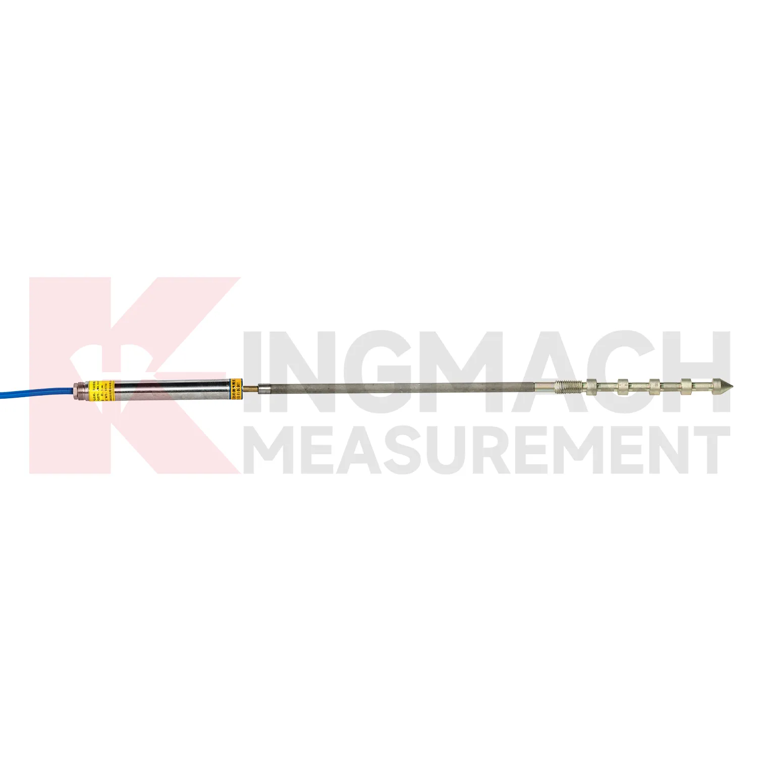
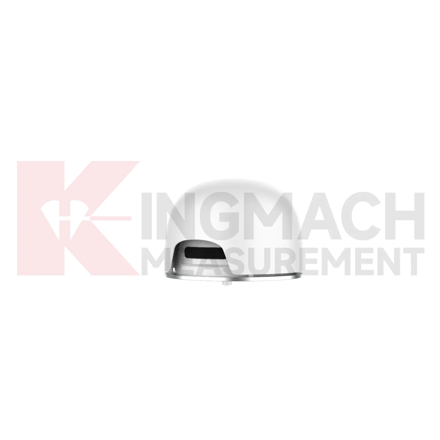
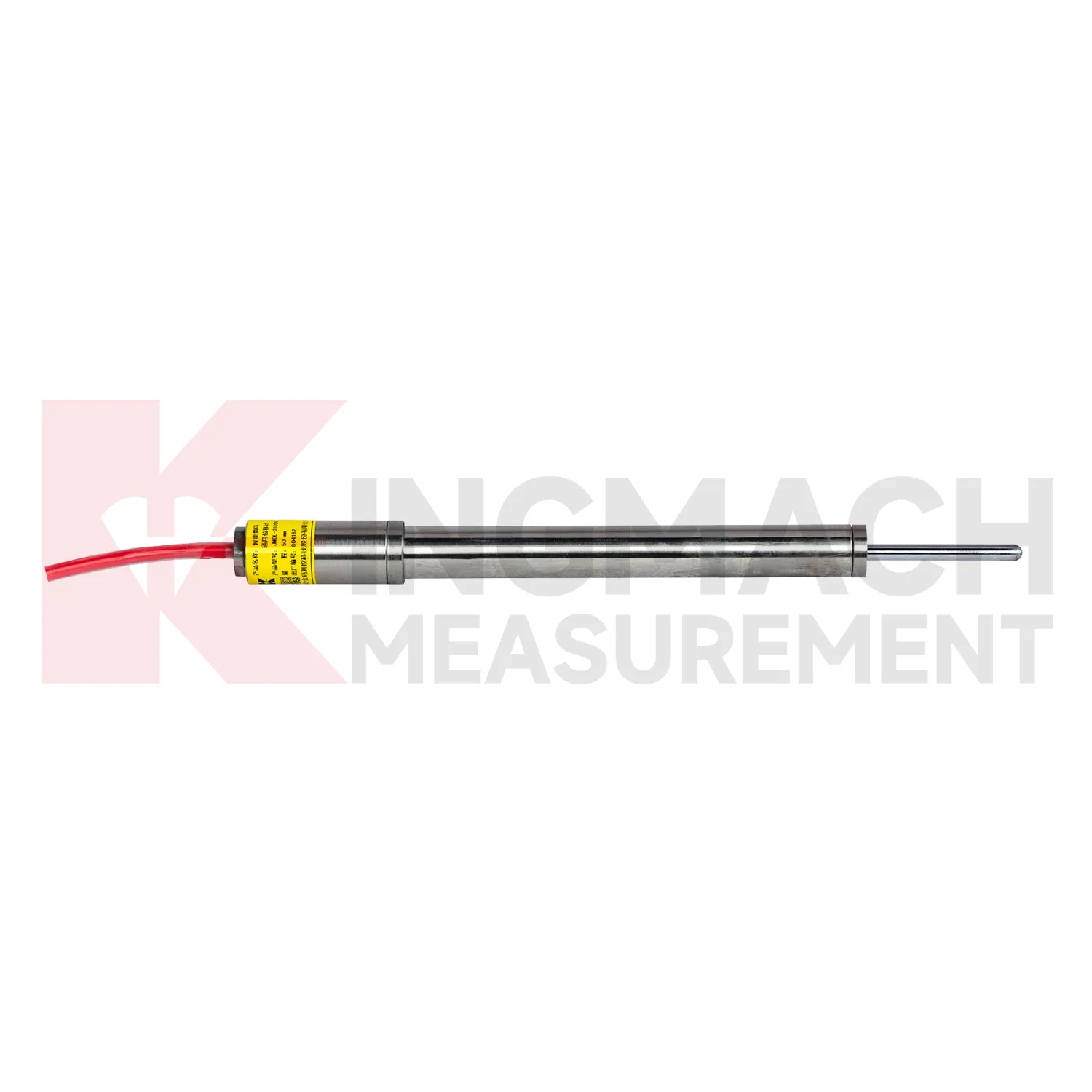
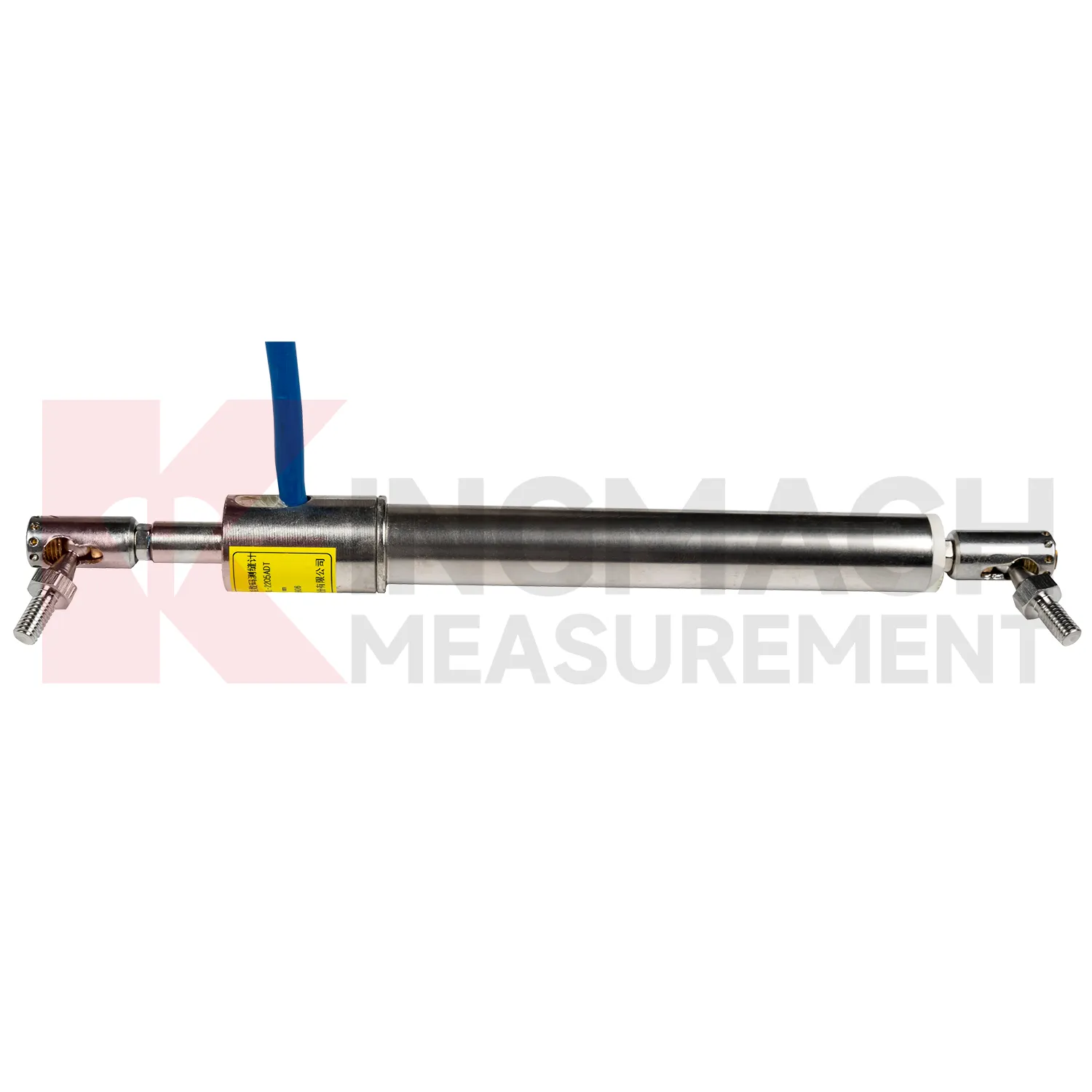
The JMDL-32XXAT Smart Single-Point Bedrock Displacement Meter extends Kingmach GPS Displacement Monitoring System into embedded rock and foundation monitoring. It is designed for tunnel rock mass deformation, dam bedrock deformation, slope sliding, and foundation pit face movement. The assembly includes a flange, electrical displacement sensor, tie rod, anchor head, and PVC pipe, forming a practical embedded instrument for single-depth displacement. Listed models include 50 mm, 100 mm, and 200 mm ranges, each with 0.01 mm resolution. Product information lists displacement accuracy of 0.5%FS, temperature accuracy of plus or minus 0.5 degrees Celsius, and an operating temperature range from -30 degrees Celsius to +80 degrees Celsius. This product is useful where the monitoring point needs to be anchored into a known layer rather than mounted only on a visible surface. In tunnels, dams, slopes, and deep excavations, that embedded layout helps link surface observations with movement inside the rock or foundation body. During project setup, the measuring point should be matched with the expected travel direction, available mounting space, cable route, and required acquisition interval. This prevents a short-range joint instrument from being used on a long-travel point, or an exposed sensor from being placed where an embedded anchor is needed. It also helps the monitoring team set a baseline that can be defended during acceptance and later maintenance review.
Application of GPS Displacement Monitoring System
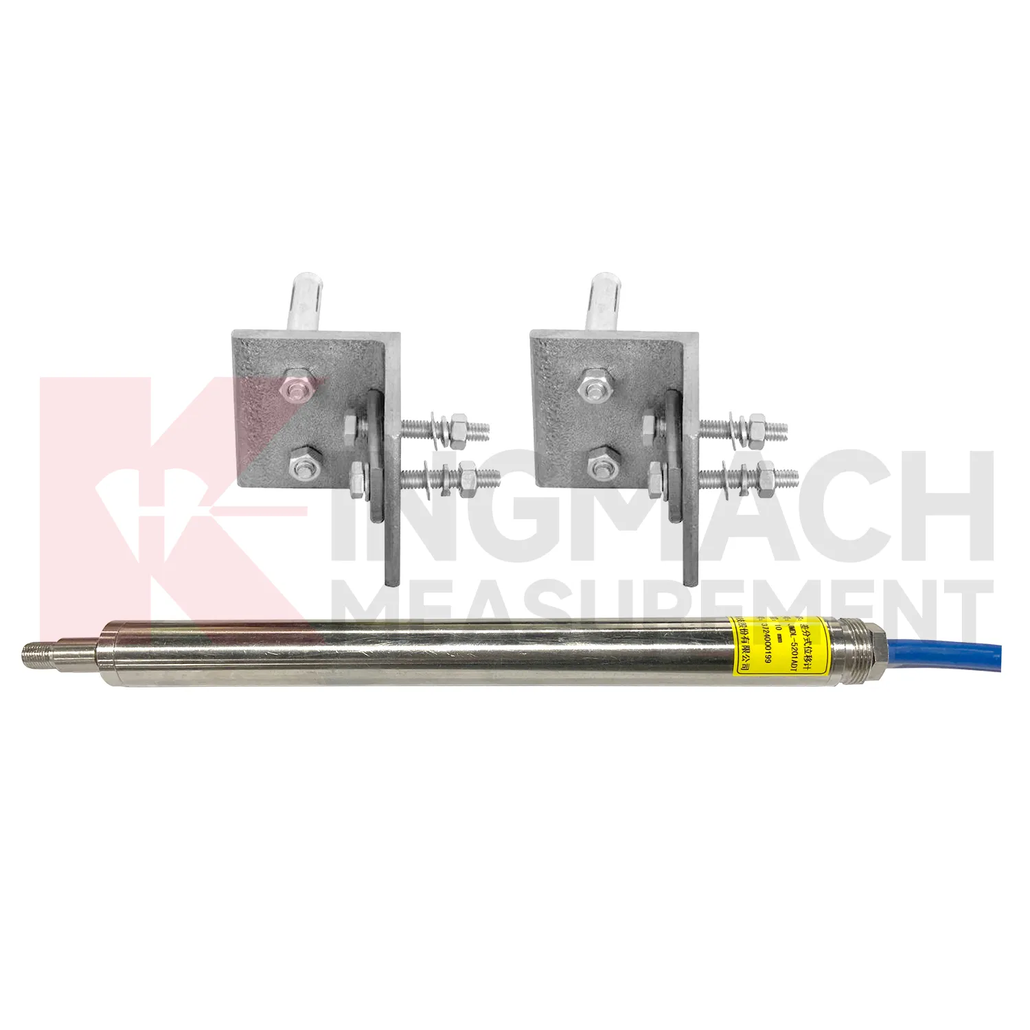
In crack and joint monitoring, GPS Displacement Monitoring System give engineers a direct view of width change rather than a note from visual inspection. This is important for bridges, buildings, tunnel linings, dams, road structures, railway structures, and slope retaining works where a crack may open, close, or move with temperature and load. Kingmach JMDL-22XXAT Smart Crack Gauge is designed for cracks, joints, and expansion joints, with listed 20 mm, 50 mm, 100 mm, and 200 mm ranges. Resolution is 0.01 mm for the 20 mm to 100 mm models and 0.05 mm for the 200 mm model, with 0.5%FS accuracy. Different measuring rods and universal bases allow the instrument to fit varied joint widths and installation angles. Stored model data, serial number, calibration coefficient, and up to 600 measurement records help teams compare early baseline values with later movement after traffic changes, rainfall, repair, vibration, or structural loading. During operation, the monitoring team should keep the baseline, temperature, inspection notes, and nearby sensor behavior in the same review file. This makes it easier to tell whether a movement trend comes from normal service, a repair event, changing load, water influence, or developing structural risk. Clear records also help owners decide when a field inspection is needed instead of waiting for visible damage.
The future of GPS Displacement Monitoring System
The future of GPS Displacement Monitoring System will be shaped by connected monitoring rather than isolated field readings. Kingmach products already include digital detection, RS485 communication on selected models, built-in memory, stored calibration data, and compatibility with automatic acquisition systems. The next practical step is cleaner connection between the sensor identity, the monitoring point, and the platform curve. A displacement value should arrive with its model, serial number, range, calibration coefficient, zero value, temperature, and installation position. That will reduce channel errors and make later review faster. In bridges, tunnels, dams, slopes, and foundation pits, future systems will compare displacement with strain, load, tilt, settlement, rainfall, water level, and construction events. Warnings will depend less on a single limit and more on the pattern of movement across several related sensors. The strongest systems will still depend on careful installation, because digital tools cannot correct a loose bracket, wrong range, or poorly recorded baseline. Clear reporting will make displacement monitoring more useful for non-specialist decision makers while preserving the detail engineers need.
Care & Maintenance of GPS Displacement Monitoring System
For magnetostrictive GPS Displacement Monitoring System, maintenance should protect the non-contact sensing advantage by keeping wiring, power, and mounting clean. Kingmach JMCW-21XXADT lists DC24V input, RS485 communication, IP67 protection, reverse polarity protection up to -36V, and wiring colors for power and RS485 lines. Confirm red, yellow, blue, and green wires before energizing the device, and check grounding in cabinets where motors, pumps, or hydraulic equipment may create electrical noise. Because the sensor is used for absolute position measurement over 0 to 1000 mm, inspect mechanical alignment and travel stops so the moving part remains within range. Do not clamp the sensing body in a way that transfers bending force from the machine frame. During service, compare repeatability at known positions and review whether position drift appears after temperature swings, maintenance work, or hydraulic cylinder repair. Keep the installation photo, point number, zero value, and expected movement direction with the commissioning record for later review. If a reading changes after maintenance work, inspect the base, anchor, cable, and cabinet before assuming the structure itself has moved.
Kingmach GPS Displacement Monitoring System
GPS Displacement Monitoring System give field teams a direct way to watch components that are hard to judge by sight. A formwork pipe may shift during pouring, a rock layer may slide behind the excavation face, a geogrid may deform inside reinforced soil, and a dam joint may open after water level change. Kingmach's product range includes non-contact designs where the measuring rod and coil work independently, reducing mechanical wear and installation damage. The JMDL-24XXAT flexible displacement meter uses a bendable measuring rod for geogrid monitoring, with 30 mm and 50 mm ranges, 0.01 mm sensitivity, and 0.5%FS accuracy. The JMDL-49XXAT formwork meter offers 50 mm, 100 mm, and 200 mm ranges, IP68 protection, and temperature measurement accuracy of plus or minus 0.5 degrees Celsius. These details are useful when displacement monitoring must continue through wet, crowded, and fast-moving construction stages. The point should be named on the drawing, linked with its cable route, and checked against the expected movement direction before the first automatic reading is accepted. For daily review, the reading should be compared with nearby points, recent weather, site operations, and any loading event that could explain the movement.
FAQ
Q: Which GPS Displacement Monitoring System are used for rock layers or bedrock?
A: JMDL-31XXAT multipoint meters are used for different surrounding rock layers, while JMDL-32XXAT single-point bedrock meters are used for tunnel rock mass, dam bedrock, slope, or foundation pit movement.
Q: How many points can the multipoint meter support?
A: The multipoint installation kit supports three to five monitoring points, with anchor heads fixed at different depths by drilling and grouting.
Q: What ranges are listed for these models?
A: Both JMDL-31XXAT and JMDL-32XXAT list 50 mm, 100 mm, and 200 mm models with 0.01 mm resolution.
Q: Why monitor several depths?
A: Different layers may move differently. Separating shallow and deep movement helps engineers judge whether the problem is surface creep, deeper rock slip, or overall mass movement.
Q: What records should be kept?
A: Keep drilling depth, anchor location, grouting date, channel name, zero value, cable route, and first stable reading.
Reviews
Christopher Martinez
Very satisfied with the readouts & data loggers. User-friendly interface and supports multiple sensor inputs.
Robert Taylor
The weir flow meter is well-built and delivers accurate measurements. Great value for water management applications.
Latest Inquiries
To protect the privacy of our buyers, only public service email domains like Gmail, Yahoo, and MSN will be displayed. Additionally, only a limited portion of the inquiry content will be shown.
Evelyn***@gmail.comSouth Africa
Hi, we are a contractor working on tunnel construction and need settlement sensors and displacement ...
Emma***@gmail.comCanada
Dear Sir/Madam, we are interested in displacement transducers and settlement sensors for a geotechni...